|
Getting your Trinity Audio player ready...
|

The Bloomingdale Trail, also called The 606, for the first three numbers of the zip codes in Chicago, is located at 1805 N. Ridgeway and was once used as a freight line. Some North Lawndale residents have envisioned something similar to The Bloomingdale Trail for a long time. Finally, on Thursday, Aug. 12, 2021, they, along with city planners, met for the first time to make their vision of an elevated trail a reality.
Karen Castleberry, a member of North Lawndale Homeowners Association and lives in the community, stated:
I visualized this a long time ago … because I had been on The 606, and I walked those trails when I had my own dog. The potential of what could be up there, I had visions.
In 2003, The Trust for Public Land, a non-profit organization that works with various agencies to negotiate, structure, fund, protect land, and create parks that will ensure healthy and livable communities, began talks regarding the revamping of the 2.7 miles of unused land.
Thanks to residents of Wicker Park, Bucktown, Humboldt Park, and Logan Square, along with the Friends of Bloomingdale Trail (FBT), a nonprofit community involvement group, the Chicago Park District, The Trust for Public Land, and many others, and after years of discussions, the trail opened in 2015.
The FBT consists of elevated trails for bikers, runners, and walkers; four access parks at the ground level; event spaces; alternative transportation avenues; and green, open space for Chicagoans from all neighborhoods to enjoy.
The residents have unofficially named the anticipated 2-mile elevated trail that sits one block north of Roosevelt Road between Kostner and California avenues the “Altenheim Line. Their input on all the aspects of acquiring the trail will help explore the strengths, weaknesses, opportunities, resources required to complete it, and the prospects for success, prompting a feasibility study. The main criteria to be concerned about are the cost required and the value to be attained.
 Castleberry would like to see a small business, a restaurant overseeing Homan Avenue, public art, and activities that show the history and challenges the neighborhood has gone through. In addition, she would like to see something for every age group, especially older people with disabilities and parks for children, pathways for walks, and bike rides, opportunities for training programs that represent the previous railways that ran through the area, etc.
Committee chair Rochelle Jackson of The North Lawndale Community Coordinating Council’s transportation committee has been concerned for years about how the railroad could improve how people travel in the area.
What residents do not want to see is an increase in property taxes or displacement. However, city planner Brian Hacker stated that the study, which gives residents input in designing the elevated trail on the West Side, will help ensure positive economic results. He stated:
We’ve seen from The 606, it spawned a lot of real estate speculation. I think a lot of lessons were learned from that. “Spurring development is a good thing, but we want to make sure we’re driving equitable development and that we’re preserving affordability.
When new development comes in, the city is going to have a strong say in what actually gets built there. It will allow us the opportunity to implement some of the recommendations from this plan.
Many residents fear gentrification but are hopeful that the elevated trail could benefit the community.
Jackson stated:
If the community continues to be a part of the engagement, we can control what happens in our community. You don’t want to see gentrification? Come out and be part of the process.
Information on additional meetings regarding the elevated trail will be posted on Block Club Chicago or email the city’s Department of Planning and Development at [email protected].
Written by Brenda Robinson
Edited by Cathy Milne-Ware
Sources:
Block Club Chicago: Some Lawndale Residents Have Hoped For Their Own Elevated Trail For Years. Now, They Are Helping Create It; by Pascal Sabino
TrailLink: Bloomingdale Trail (The 606)
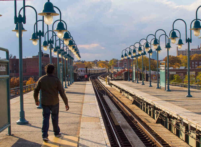
Featured Image Courtesy of Dan DeLuca’s Flickr Page – Creative Commons License
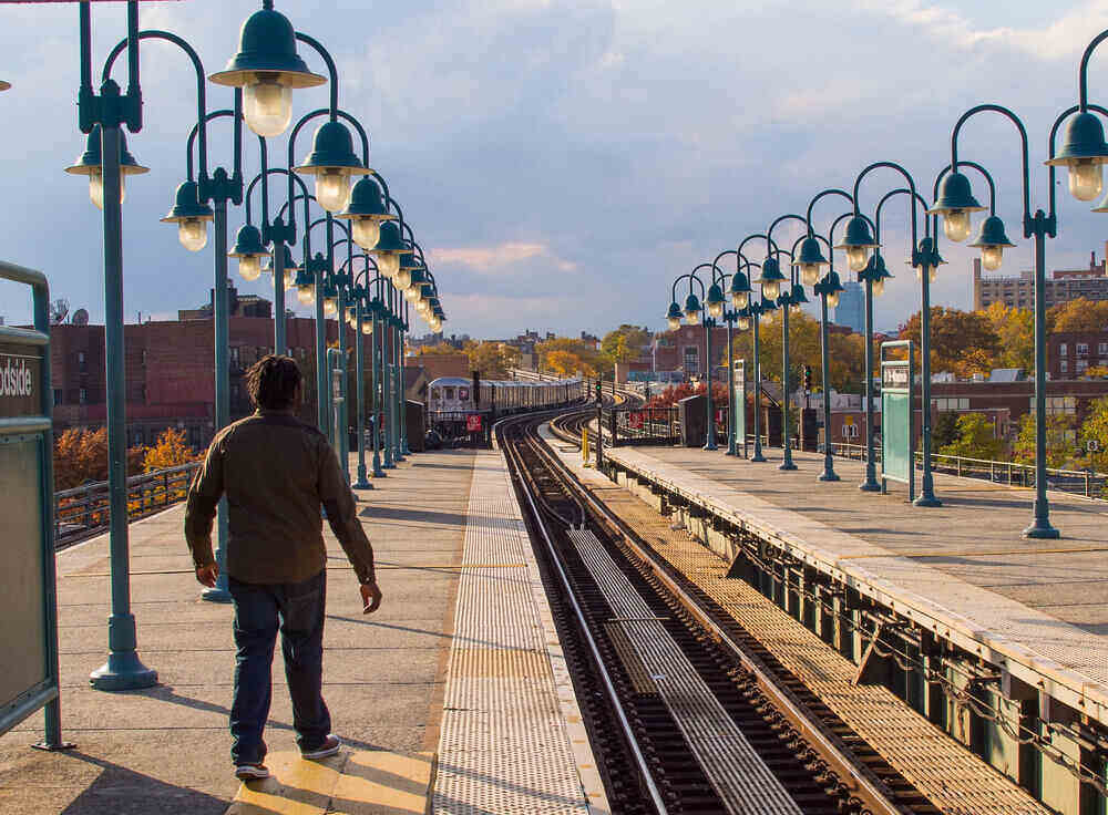
Inset Image Courtesy of Michigan Municipal League’s Flickr Page – Creative Commons License


