


|
Getting your Trinity Audio player ready...
|

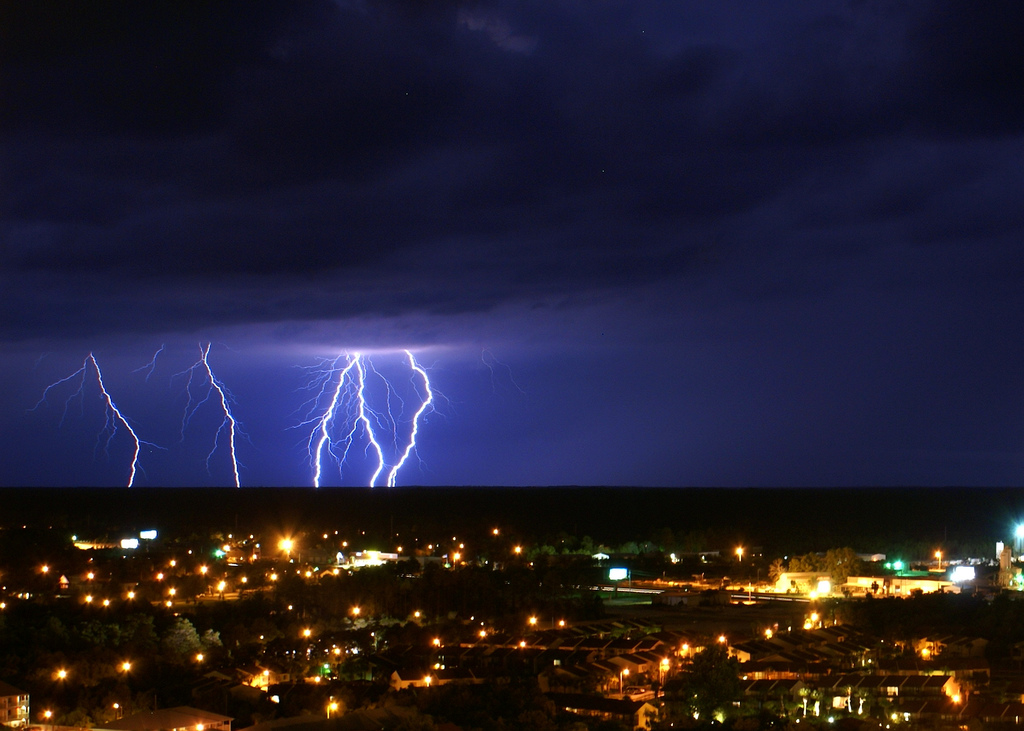
Hurricane Michael, quite possibly the largest ever to threaten Florida’s northern Coast has gained speed.
The category 3 hurricane is estimated to make landfall by Wednesday afternoon with high winds of 125 mph, recently increased from 120 mph by Tuesday afternoon, October 9, 2018.
As the Florida Panhandle and Big Bend areas are in the most imminent danger, there is a great concern for the life-threatening surge of ocean water, possibly reaching over 13-feet. Citizens in Fort Walton Beach, Destin, Panama City Beach, and Apalachicola are expected to be subject to most of the storm’s damage.
The resulting storm will ensue destructive winds and flooding rain throughout Wednesday. Widespread rainfall estimates up to four to eight inches, arriving by early Wednesday morning and lasting til nightfall on Friday.
The National Weather forecast highlighted potential “widespread power outages, downed trees blocking access to roads and endangering individuals, structural damage to homes and businesses, isolated flash flooding and the potential for a few tornadoes.”
Florida Governor Rick Scott tweeted:
As to prevent any loses, mandatory evacuations have been ordered for several areas in Florida. “This is a serious and life-threatening situation- don’t take any chances. If you have been told to evacuate, leave.
The Weather Channel’s hurricane expert, Rick Knabb, indicates the storm will not simply affect the coast. The hurricane force winds and flooding rain will spread “far inland over the southeastern U.S.”
By 5 p.m. EDT Tuesday, Michael became a major hurricane, according to the Saffir-Simpson wind scale. The storm is moving north at a speed of 12 mph, Michael has become the second prime hurricane of Atlantic’s 2018 hurricane season.
At the current rate of speed, Michael will reach the northern Gulf Coast by the early morning and potentially deteriorate as it crosses land.
Storm Surges
Storm surge projections from the Hurricane Center for locals in Florida are as shown:
- Mexico Beach to Keaton Beach: 9-13 feet.
- Okaloosa/Walton County line to Mexico Beach: 6-9 feet.
- Keaton Beach to Cedar Key: 6-9 feet.
- Cedar Key to Chassahowitzka: 4-6 feet.
- Chassahowitzka to Anna Maria Island, including Tampa Bay: 2-4 feet.
- Alabama/Florida border to Okaloosa/Walton County line: 2-4 feet
The worst of the storm surge is estimated to occur between Mexico and Keaton Beach. The storm will uproot trees, push enormous amounts of water inland producing extensive flooding it will decimate, homes, roads, and businesses.
Proper Storm Protection
It is important during these times to comply with evacuation orders. As a serious, life-threatening situation, the best chance would be to leave the area as quickly as possible taking as many necessities and important items as possible.
Knabb reminds residents that it is mandatory to “shelter from hurricane-force winds like you would for a tornado, and don’t stay in mobile homes, even for a tropical storm.”
Written by Brielle R. Buford
Edited by Cathy Milne-Ware
Sources:
The Washington Post: Hurricane Michael strengthens to Category 3, on collision course with Florida Gulf Coast
Featured and Top Image Courtesy of Steve Driskell’s Flickr Page – Creative Commons License